Cool Rainy Weather Coming – Mountain Snow Possible [YouTube]
A major change in the weather is coming to northwest Montana.
The National Weather Service is calling for much cooler temperatures to arrive in the area starting on Monday, up to 25 degrees below normal, with the coolest temperatures ranging from Grangeville, Idaho to Butte.
Meteorologist Jeff Kitzmiller said the storms that rolled through Missoula on Thursday afternoon brought significant rainfall and some small hail, along with lightning strikes.
"Several thunderstorms that formed out to our west met up and came through the Missoula valley," Kitzmilller said. "I haven't had a chance to count how many lightning strikes, but I know there were quite a few."
One of those lightning strikes sparked a small fire on Blue Mountain, which is being fought by crews from the lolo National Forest.
"Starting Monday, the models are coming into agreement that the area will be getting a significant amount of rain," he said. "Missoula is just on the outside of that envelope, but we're pretty optimistic about getting a good amount of rain."
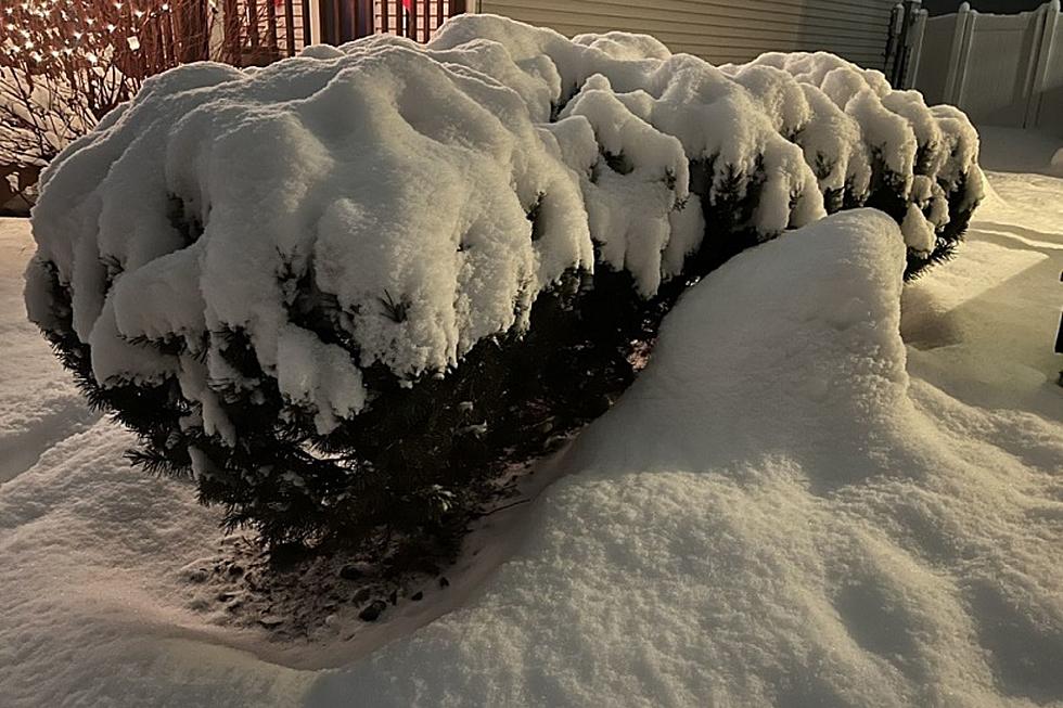
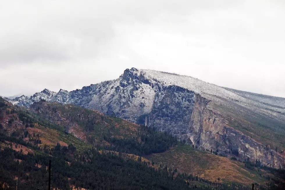
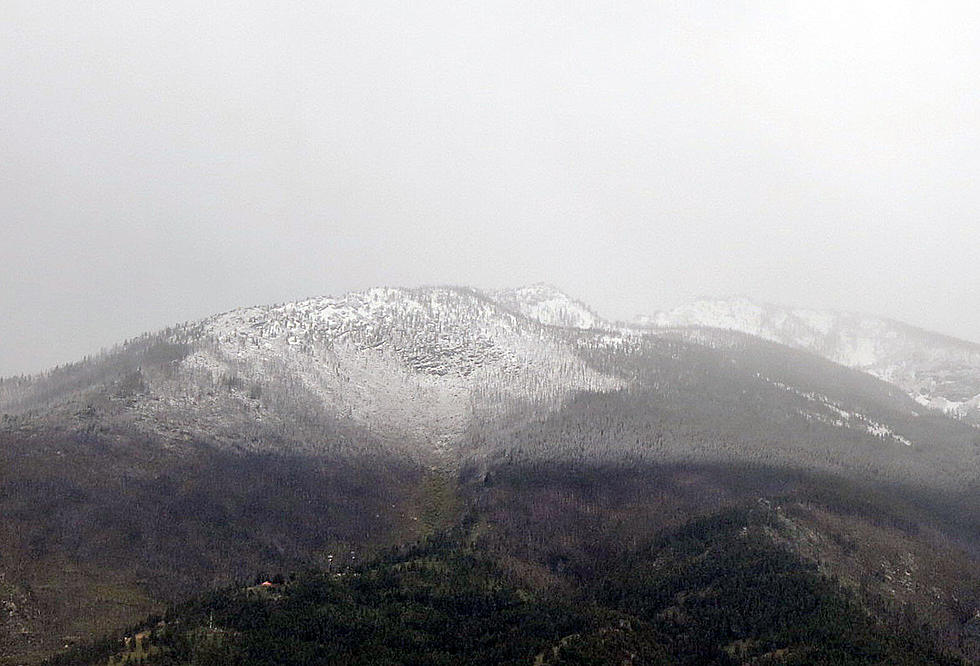
Kitzmiller went so far to say that some snow could be on area mountaintops early next week.
"Snow levels might actually drop pretty low with this next one, so we might see some of those higher peaks start seeing some snow, so it's a really cold one for this time of year."
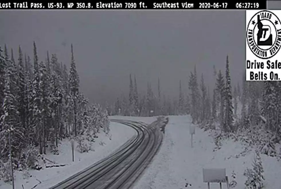
The news release from the National Weather Service states that some snow is possible above around 8,000 feet in the Glacier National Park area.
More From 96.3 The Blaze