
Early Spring to be Replaced with Colder Temperatures in Missoula
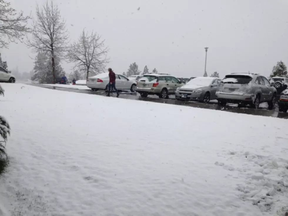
As the temperatures have risen around western Montana, snow berms have been melting, making residents think of an early spring, but that will change in the next 24 to 36 hours.
Meteorologist Jeff Kitzmiller with the National Weather Service in Missoula says a cold front is headed into western Montana starting Thursday night.
“We have colder air that’s going to work its way in,” said Kitzmiller. “As that colder air come in late Thursday evening, we will see a change. However, for Thursday, the daytime temperatures will be quite warm,. In the 40’s and even close to the 50’s, but then the changes will come quickly after that. We’ll have colder air coming in, it will start snowing and we get that northeast wind.”
Kitzmiller said the main effect of the system won’t be snow, but colder temperatures.
“We don’t see a lot of snow in the forecast, more like one to three inches,” he said. “We are going to go from being warm in the 40’s to low 50’s, and then dropping down to the 20’s by Friday morning. When that happens, we see a lot of ice on the highways for a period of time, so that’s the main concern that we have. The wet roads, the wind and the cold might make travel conditions a little sketchy for Friday.”
Kitzmiller said the mountain passes will see moderate snow amounts, but nowhere near what eastern Montana endured over the past week, withy 10 inches in one day in Billings, and two feet of snow in the town of Busby on the Northern Cheyenne Reservation.
More From 96.3 The Blaze


![Icy Roads Lead to Confusion About School and Bus Delays in Missoula [AUDIO]](http://townsquare.media/site/119/files/2014/02/School-bus-on-icy-road.jpg?w=980&q=75)
![Freezing Rain Leaves Streets Icy for Tuesday Driving [AUDIO]](http://townsquare.media/site/119/files/2013/12/icy-road-lisaw123-630x421.jpg?w=980&q=75)
![Winter Storm Warning – Wet Roads Will Freeze Creating Dangerous Conditions [AUDIO]](http://townsquare.media/site/119/files/2013/12/blowing-snow-iowa_spirit_walker-630x472.jpg?w=980&q=75)