Snow Expected in Missoula Monday, but Not Another Snowmageddon
A cold front of moisture from the pacific is expected to blast into Montana on Monday, March 17, bringing with it a fresh layer of snow.
"There's been some consistency [with our models] of the upcoming system," said National Weather Service Meteorologist Jeff Kitzmiller. "One in particular has been showing the potential for snow. Some of the other models that we look at are also following suit. Our confidence is increasing that we'll have a pretty good cold front on Monday, followed by some colder air and some lingering moisture that should bring some snow."
There is even a possibility of snow on Friday evening, March 7, when the first wave of the cold front is expected to hit.
"Looks like the flakes will probably start falling by morning, late morning around here, a little earlier up north and in Idaho, but by the afternoon and evening, looks like we'll probably be into it," Kitzmiller said. "Especially for people in Butte. Georgetown Lake to Butte looks pretty good for snow, and on the I-90 corridor there too."
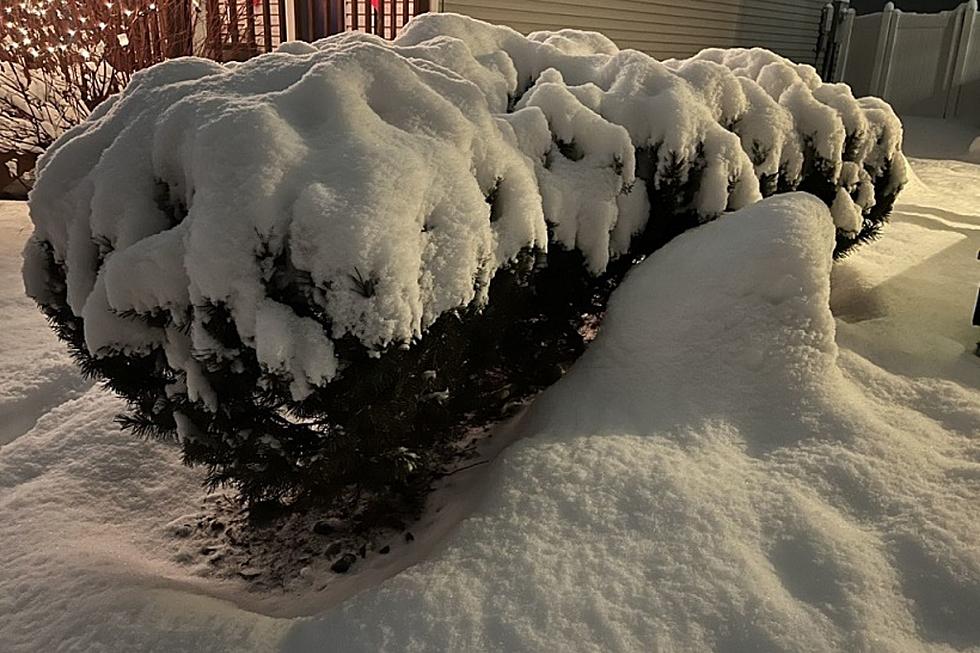
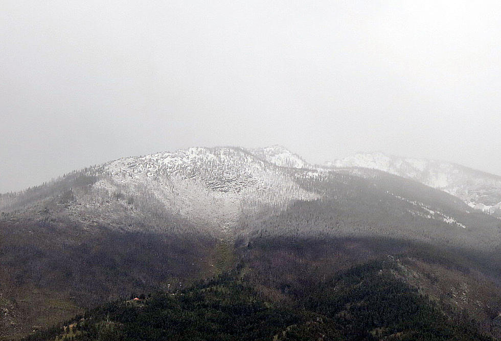
The amount of snow is only expected to be around one to two inches, nowhere near the amount that fell during the blizzard at the end of February.
More From 96.3 The Blaze