Winter Weather To Make An Appearance in Western Montana With Some Snow And a Hard Freeze
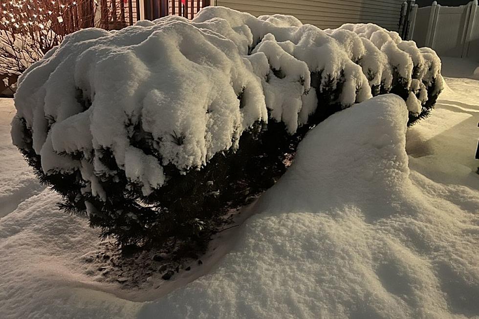
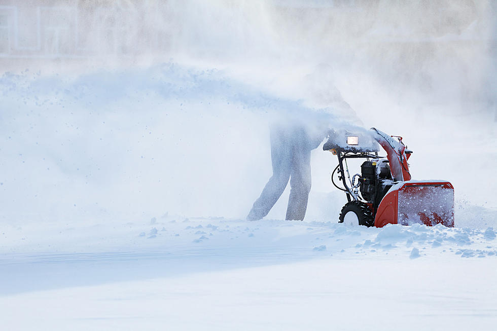
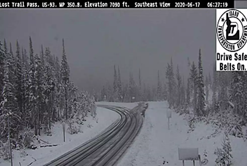
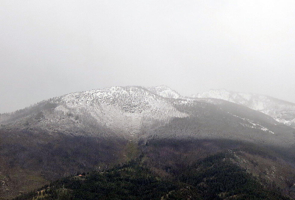
With the major early winter storm that knocked out power in the Glacier Park area over the weekend, Missoula and the rest of western Montana will also feel the sting of winter.
Meteorologist Trent Smith with the National Weather Service office in Missoula said western Montana valleys could experience some snow in the next 24 hours.
"It actually looks like the snow levels will be falling to the valley floors later tonight, so that late tonight or early tomorrow morning, Missoulians could be seeing a few snowflakes falling from the sky, but I don't think there'll be much accumulation," Smith said.
He also said the temperatures in the next few days will dip low enough to bring a hard freeze to the area.
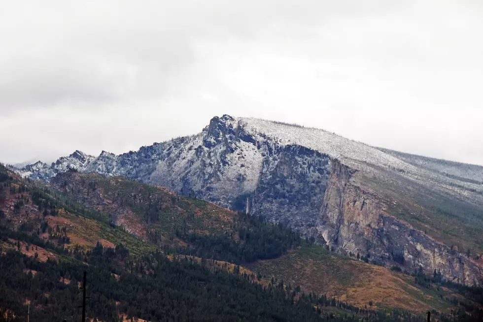
"Come Wednesday morning, I think it'll be more than just frost," he said. "We're looking at a deep freeze. This colder air will be setting up over western Montana and really get entrenched. We're going to have a nice clear night on Tuesday, and we're going to see temperatures drop to the low to mid 20's for Missoula. In areas like Polebridge where they got so much snow last night, temperatures there could be down in the single digits, so we're looking at a hard freeze throughout much of western Montana."
Smith said the weather conditions will moderate later in the week, with another change by the weekend.
"We're actually expecting a short warm-up on Thursday and Friday, but then we'll be transitioning into another very wet system come the weekend into early next week," he said. "The temperatures will be relatively warm with highs in the 50's and 60's, so, we'll primarily be seeing rain with this system."
More From 96.3 The Blaze