Avalanche Danger is High
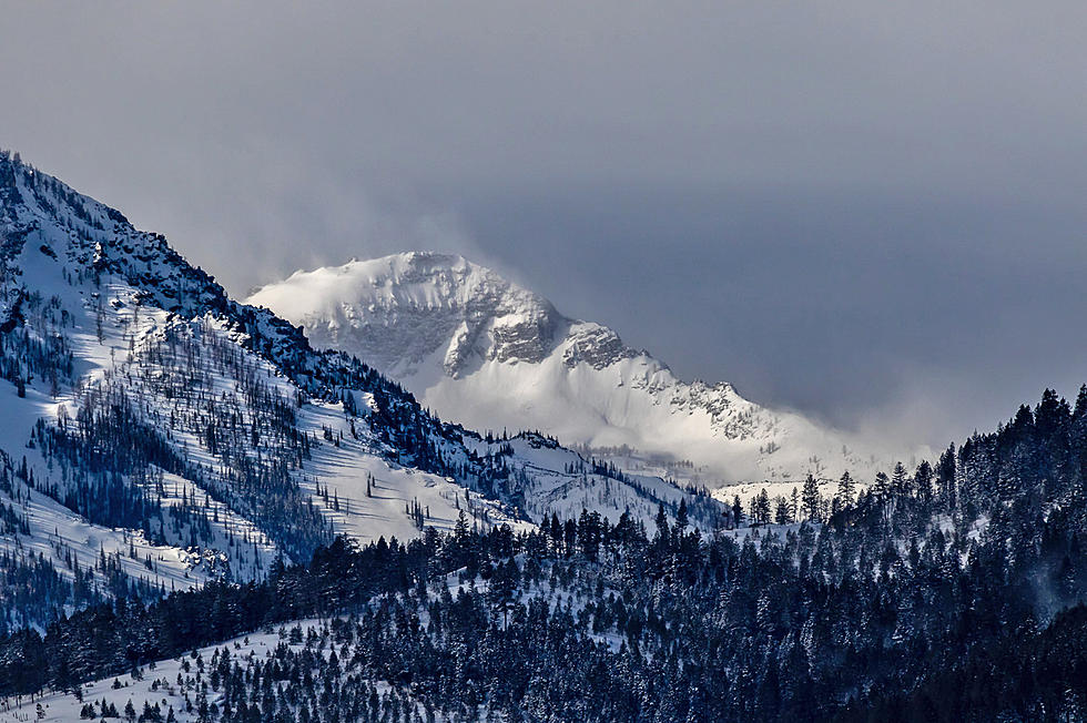
With the unseasonably warm temperatures and wind, the West Central Avalanche Center has issued a "High" danger warning for the back country. The advisory will be in effect through Thursday, January 13, due to the Pacific storm that is bringing rain, snow and high winds to western Montana.
The Wednesday morning advisory stated that avalanches may run long distances and travel in avalanche terrain is Not Recommended. The advisory is not for operating ski areas, but is for mainly U.S. Forest Service areas popular with cross-country skiers and snowmobilers.
The heavy wet snow on top of the current snowpack is causing great concern. In the southern Mission Mountains Tuesday, a small human-triggered avalanche was reported and in the southern Bitterroot, "small wind slabs were touchy" Tuesday. Officials were also concerned about the Rattlesnake avalanche dangers. The combination of heavy snow, wind and warm temperatures are made more dangerous with rainfall. Again, the advice is to not travel in avalanche terrain and avoid runout areas. Remember to take your avalanche equipment, including beacon.
Travelers on western Montana roadways are also watching the conditions change hourly. Trees have blocked the East Side Highway in at least two areas near Corvallis and Florence Wednesday morning, with the strong winds. Wet roads can very quickly turn to icy roads as the wind picks up, especially in the mountain passes, where predicted winds are approaching 60 miles per hour. Whatever outdoor activity you have planned, make sure you tell someone where you're going and what time you are expected to be back. It could save your life.
For the latest avalanche conditions, check the Missoula Avalanche website.
10 Most Mispronounced Towns in Montana
More From 96.3 The Blaze