Check Montana River Levels Anytime: 237 Sites
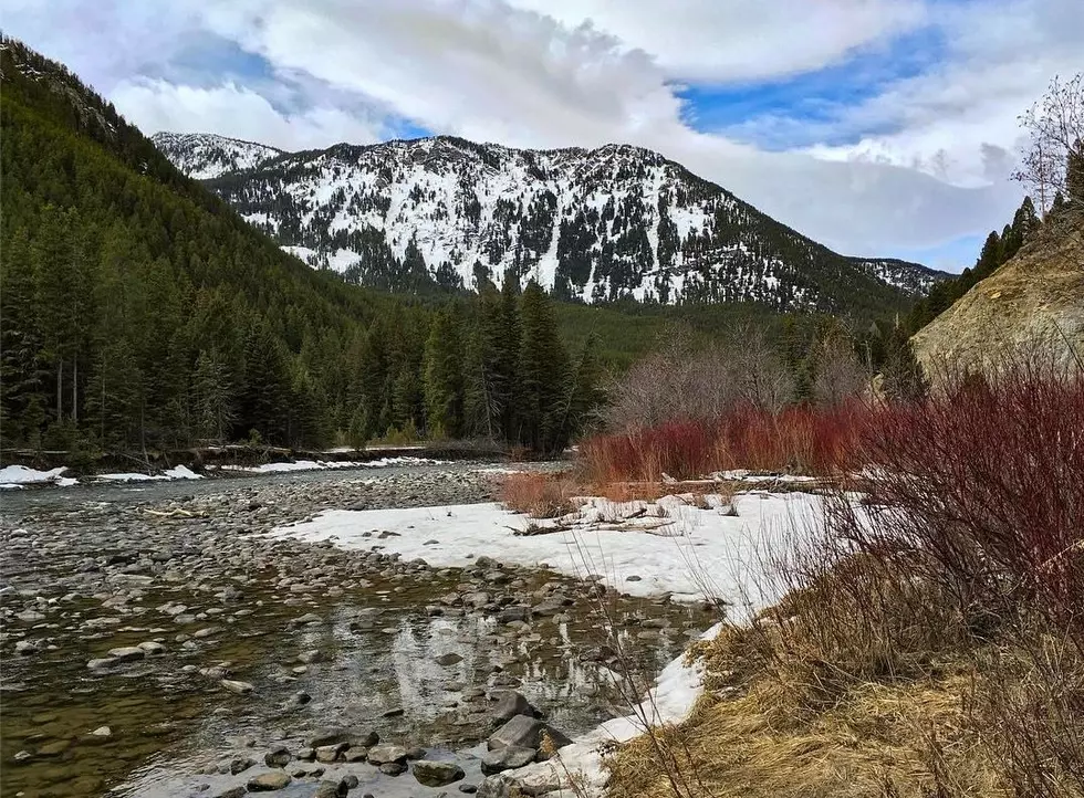
Springtime can be volatile for Montana rivers and the water levels. Knowing current conditions is super important for your safety and enjoyment.
The National Weather Service also has their 'Advanced Hydrologic Prediction Service' which is also excellent because it's in map form rather than a long list. This map has a total of 261 gauges to measure Montana river levels.
Flooding in Montana is most common in southwest Montana, so all the more reason to keep on top of the latest information. For instance, the Yellowstone River near Livingston recorded flood levels of 40,600 cfs in 2011.
Montana river levels are divided into regions:
- Upper Missouri River Basin
- Lower Missouri River Basin
- Yellowstone River Basin
- Upper Columbia River Basin
- Hudson Bay Basin
In each basin/region there are hyper-local sites for you to check, depending on where you're headed.

There have been SIGNIFICANT floods in Montana in: 1908, 1948, 1964, 1978 and 2011. In addition, there are several different kinds of floods that Montana experiences: Flash Flooding, normal river flooding, burn scars/debris flows, ice/debris jams, snowmelt, dry wash, dam breaks or levee failure.
(We had to look up what 'dry wash' meant)
Dry Wash: When heavy rain falls over extremely dry land, the water rushes towards low-lying areas, which may include dried up canyon or river beds. This can quickly turn a dry channel into a raging river
The bottom line is...if there's ANY question about dangerous river levels, CHECK THEM! People lose their lives every year in Montana rivers. Don't let a pleasant day turn into injury or worse. Be safe this summer and know your rivers!
More From 96.3 The Blaze