Forest Fires and Smoke Levels Increase in Western Montana
A number of fires increased by thousands of acres this weekend into Monday morning, September 4, increasing the smoke density throughout western Montana.
The largest jump was the Rice Ridge Fire, which is now at 101,424 acres, growing over 48,00 acres. Also in the Seeley Lake area, the Liberty Fire is now 21,388 acres, increasing by about 5,000 acres. South of Philipsburg, the Meyers Fire advanced to south and east by about 16,000 acres. It is now 53,737 acres and is in both the Beaverhead-Deerlodge and Bitterroot National Forests. The fire has entered the East Fork drainage of the Bitterroot River.
The Lolo Peak fire continues its movement south along the Bitterroot Mountains and has burned over 45,000 acres so far. There were also more flames on the northeast edge of the fire. Evacuations in the Florence and Bass Creek areas are in place.
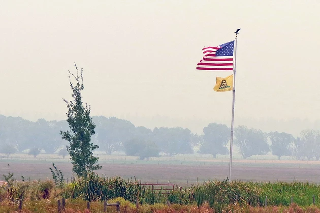
With the active fires, the smoke has choked the valleys, with Hamilton and Missoula solidly in the "Unhealthy" level. Thompson Falls, near the Highway 200 Complex of fires, reported a "Hazardous" level Monday afternoon.
A fire in the Selway-Bitterroot Wilderness has edged into the Bitterroot Valley, according the Nez Perce-Clearwater National Forest report Monday afternoon. The Hidden Fire has jumped to 10,335 acres near the Montana boundary, but spotted ahead into the Fred Burr Creek, with an infrared flight Sunday night showing two small spot fires within 500 feet of the boundary, The fire is still in the wilderness, growing south of the confluence of Colt Killed and Big Sand Creeks and within the Big Flat Creek drainage.
In the Selway-Bitterroot Wilderness, the Moose 1 fire is now 16,801 acres, growing to the north and northwest of Freeman Peak. The Lone Pine Fire is 12,369 acres, moving to the east and into upper Bitch Creek.
The Chute Creek Fire, about a mile from Blodgett Lake, is now 2,753 acres.
Elsewhere in Montana Monday afternoon, the Sunrise Fire is 26,155, the Sprague Fire in Glacier National Park is over 9,400 acres, the Sheep Gap Fire, part of the Highway 200 Complex, is over 5,000 acres, east of Thompson Falls.


