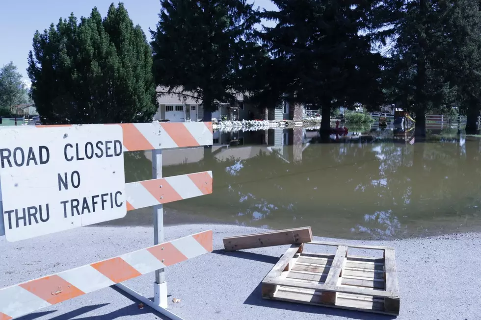
Clark Fork Flood Was Still Feet From Crossing Berms Into Heavy Metal Settling Ponds
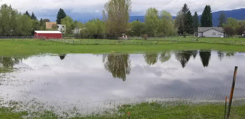
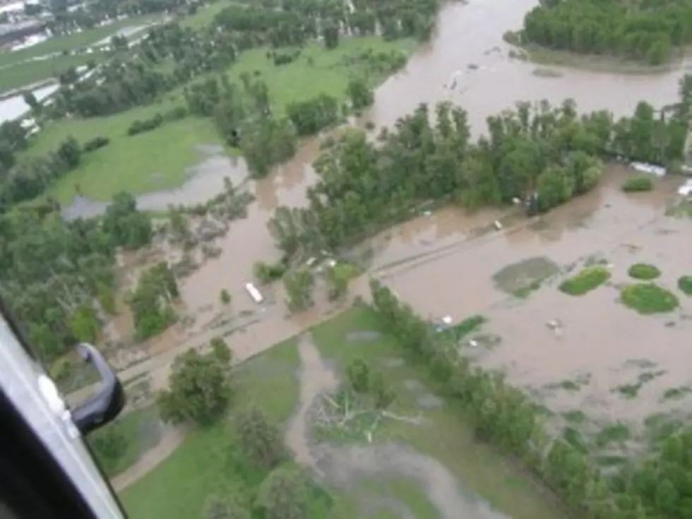
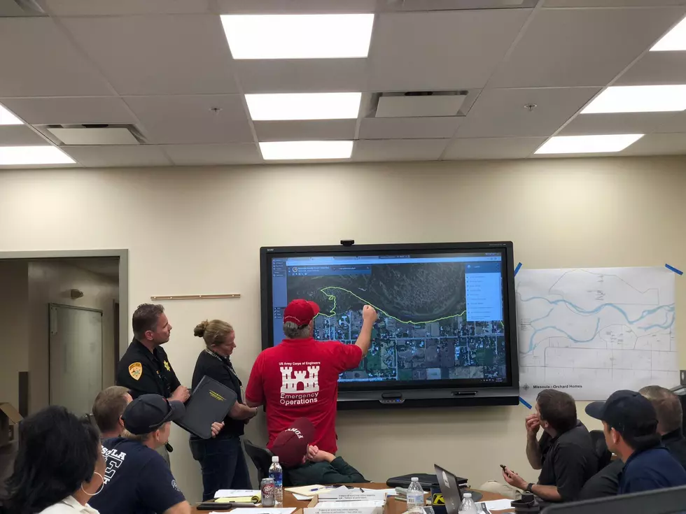
When water levels on the Clark Fork River in Missoula rose to a near all-time record high on Friday concerns were running high over at the Clark Fork Coalition, where Science Director John DeArment warned of a possible ecological disaster at the old Smurfit-Stone pulp and paper mill site.
"The mill disposed of some of it's industrial waste in a series of ponds," DeArment said. "They are out on the historic flood plane and channel migration zone on the Clark Fork River. As the flows have come up, that area is protected by a berm and that berm is not engeniered to today's standards. We have been concerned that high flows could go over the top of the berm or undermine it somehow and allow the river to enter that historic flood plane."
DeArment says the flows on Saturday did not appear to be undermining the berms, but that they also weren’t as bad as many believe.
"We reached around 52,000 cubic feet per second at the USGS site below Missoula Saturday and there were still several feet of available berm to protect them," DeArment said. "It would have had to been quite a bit higher than it was this weekend to get over them. The flood we had this weekend was about the 25 year flood. In the big picture, it was not that large of a flood. We could certainly see a much bigger event."
The Clark Fork Coalition hopes the high waters will help raise concern about the site and possibly put the site on a faster track to superfund clean-up status. Dearment says the pollutants of greatest concern are heavy metals and dioxin.
More From 96.3 The Blaze