NWS – Heavy Mountain Snow and Valley Rain Expected This Week
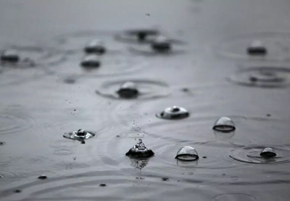
The National Weather Service is expecting very warm moist systems to move through western Montana and eastern Idaho this week that may bring an appreciable amount of snow to the mountains and rain to the valleys.
Meteorologist Dan Zumpf outlined the weather systems headed our way.
“We do have a change, but, believe it or not, we're going to be actually getting warmer for a while than we've been lately, which is a bit counterintuitive,” said Zumpf. “It's actually going to start off as a wintry mix on Tuesday covering much of northwest Montana and then in the Missoula area that should turn into rain by the daytime tomorrow, and that'll actually continue all the way through Wednesday.”
Zumpf estimated the amount of snow expected in the high mountains.
“Right now our total for snowfall expectations are somewhere in the six to 10 inch range if you're looking at someplace like Lookout Pass or Lolo Pass with barely anything for down here in the valleys,” he said. “We're more likely to get freezing rain or just a brief icing from melting snow on the ground.”
Zumpf said what has forecasters concerned is the sheer amount of moisture that could fall on frozen ground in the mountains.
“The bigger story is how much water is associated with the storm system,” he said. “In the mountains we're looking at anywhere from one and a half inches to over three inches of water and that's going to cause some problems for the snowpack itself of having all that water on it and also the ground having been frozen anywhere that where there’s poor drainage means it’s going to be further exacerbated by the water running over it, so road cutouts and deep terrain rock and mudslides are very possible, especially west of Missoula.”
Zumpf said it’s a bit early to be overly concerned about mountain snowpack, but that these weather systems could significantly contribute to the amount of snow in the mountains.
“This storm could really push a lot of those basins over 100% for their water easily along the Montana Idaho border,” he said. “Really, when you look back at winters in general, you see that most of the snowpack is made up in a couple of what we call ‘storm cycles’. So basically when you have several storm systems in a row and they dump lots of snow, that's generally how the snowpack is built, not just for Montana but for the whole western US.”
Zumpf said to be on the lookout for rock and mudslides in the mountains from these storms.
KEEP READING: See notable new words that were coined the year you were born
More From 96.3 The Blaze
