Western Montana under heat advisories as high-pressure ridge leads to scorching temperatures. Stay cool and safe, with valleys reaching up to 105 degrees.
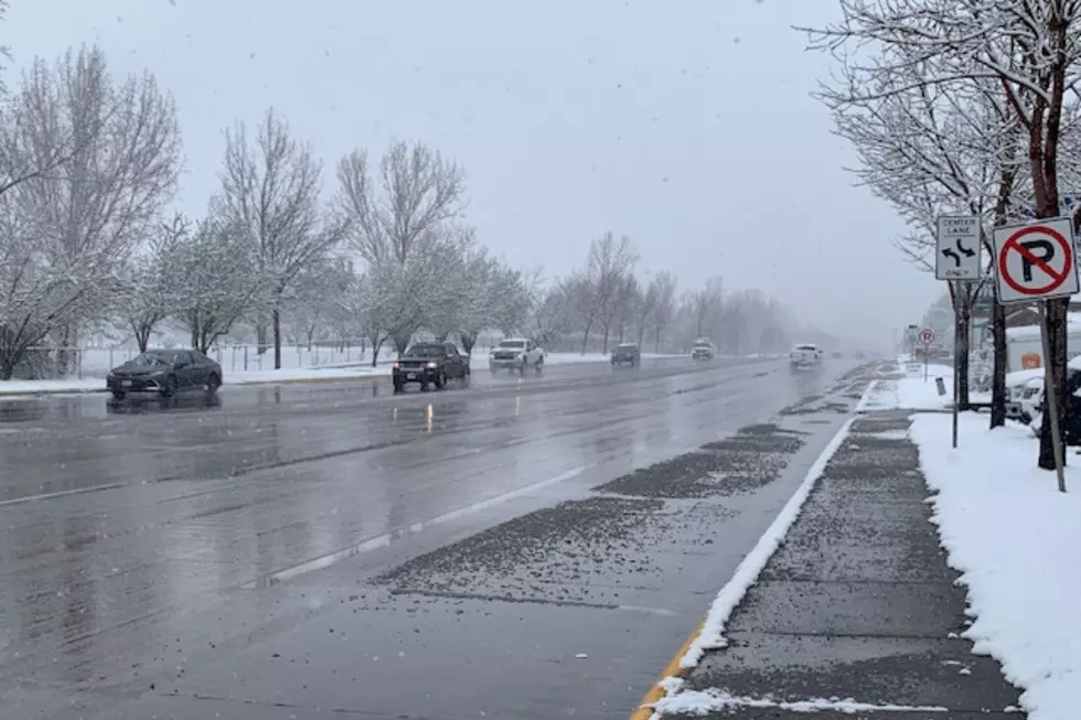
Yes, it’s the middle of April, but Missoulians were transported back to winter on Wednesday, as two spring snow systems collided over the Missoula Valley.