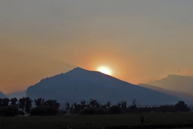
The Bitterroot Mountains are Hiding Behind the Smoke
The increasing amounts of smoke mark what has unfortunately become the month of August almost every year in the Bitterroot.
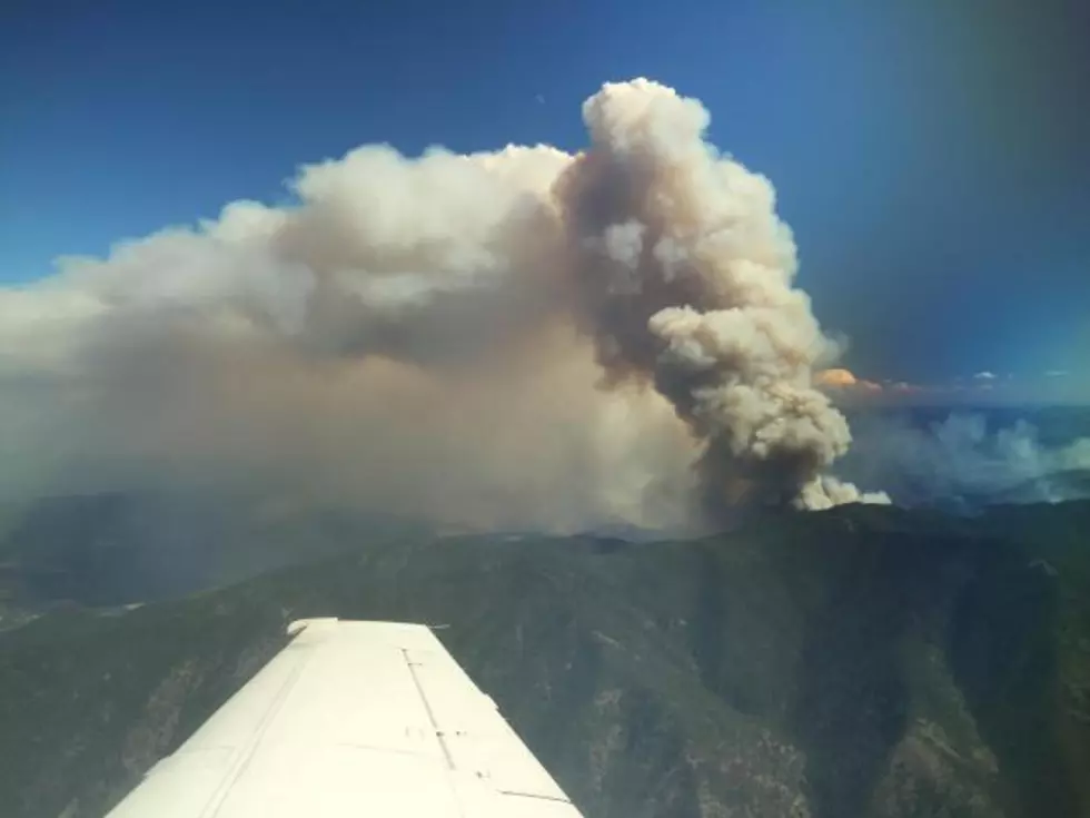
The major source of forest fire smoke is coming from the Lolo Peak Fire on the north part of the valley and the Moose 1 and Rattlesnake Point fires of the Selway-Bitterroot Wilderness, bringing smoke into the southern end of Ravalli County.
The air quality has begun to creep into the "Unhealthy for Sensitive Groups" category, according to the official state monitor in Hamilton.
And the weather pattern does not provide any relief in the immediate future. Temperatures in the 80s and 90s and no rain.
The hot, dry weather (with wind at times) has caused the Lolo Peak Fire to burn over 5,724 acres in the northeastern edge of the Selway-Bitterroot Wilderness. The fire is about 3 miles from any structures. Leigh Golden at Incident Command reports that active fire is burning on the east side of the South Fork Lolo Creek at Lantern Creek near the ridgeline. Retardant drops are being used on the fire's west side and aerial ignition is burning a fireline on the southern edge, which also is designed to keep the fire out of the Bitterroot Valley.
Meanwhile, the Moose 1 fire near the Moose Creek Ranger Station far to the west in the Selway-Bitterroot Wilderness is now estimated at 2,850 acres, moving along Hell Creek. The Rattlesnake Point fire in the Frank Church River of No Return Wilderness on the north side of the Salmon River has grown to 1,500 acres. The main Salmon River remains open to the public, but expect some smoky areas.
Add smoke from the 6,400 acre Sunrise Fire south of Superior and the 2,500 acre Liberty Fire, south of Arlee, and you've got a very hazy outlook.
The Bitterroot National Forest has some small fires burning, according to Tod McKay. The Dominic Butte Fire east of Corvallis remains at 55 acres, the Tin Cup Fire at the head of Tin Cup drainage is 35 acres. In the Selway-Bitterroot Wilderness, the 5-acre White Cap fire and the 70-acre Vance Mountain fire are being monitored.
McKay said 42 wildfires have been extinguished by Bitterroot National Forest crews so far this season. Most fires have been under an acre in size.
Wherever you go in Western Montana or Idaho, the fire danger is either "Very High" or "Extreme." No campfires are allowed under Stage II fire restrictions.
More From 96.3 The Blaze


