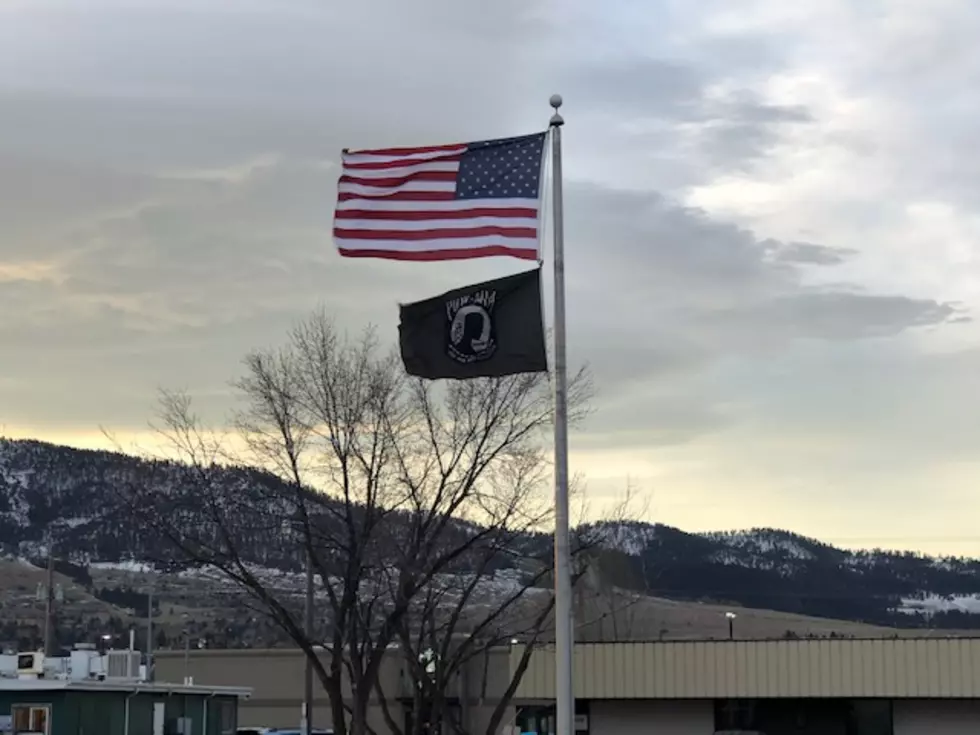
Wind Event Could Bring Snow Bands to Valleys
The National Weather Service has issued a high wind watch until 2:00 p.m. on Wednesday.
Meteorologist Jeff Kitzmiller provided details just after 4:00 a.m. on Wednesday.
“We’ve got a pretty good cold front coming through today, and ahead of it we’re seeing some pretty strong winds already,” said Kitzmiller. In Stevensville, I’m watching wind gusts of 43 miles per hour. Here in the Missoula valley we’ve been sporadic. We go from strong winds to almost calm, but once we get into the later morning hours, it’s just going to be windy for everybody.”
Kitzmiller said the winds are pushing in a cold front that could contain some intense snow bands.
“Most of it’s through the morning, but we’ll still see some pretty good gusts by the afternoon,” he said. “By the later afternoon it will decrease and be nicer by the evening. We’ll have some snow showers and maybe some snow bands, but here in our valleys we’re pretty warm, so it will be a rain and snow mix to start out, but it does look like some of those snow showers could get pretty intense and some really low visibility could be possible by about 9:00 a.m.”
Kitzmiller said the possible snow bands will be localized.
“It could be a little more widespread than that,” he said. “However, the Missoula valley and the northern Bitterroot valley seem to be the main areas. I don’t have a lot of confidence on those since we’re still warm, but some of our models are saying there could be some low visibility at times.”


