Huge Mistake Shows Most of Western Montana Should Belong to Idaho
Have you ever wondered why states are shaped the way they are? There was actually a History Channel series dedicated to explaining the history behind why each state is shaped the way it is. Some of the stories were very interesting. With state lines being drawn due to wars and politics. For other states, they got their shapes simply because the survey crews ran out of patience.
For most states, boundaries are drawn using rivers. One side of the river bank is one state, and the other side is another state. This made a number of states with squiggly lines for borders. As railroads began to stretch across the country, state lines became more symmetrical and involved straighter lines.
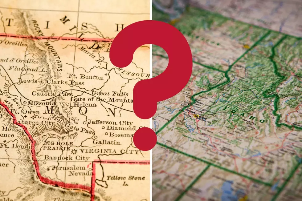
Montana is a mixture of both. Eastern Montana consists of open prairie, which made for symmetrical lines to be drawn. But, western Montana is far more rugged, which caused the state line to be drawn on what was considered the continental divide. Except we all know that the continental divide doesn't go through the mountains of western Montana. It is actually closer to Butte and runs north to Glacier Park. Meaning places like Missoula, Hamilton, Polson and ALL of the Flathead Valley should actually belong to Idaho.
Tik Tok creator, Armchairengineer explains how Missoula and Flathead lake should technically belong in Idaho.
@armchairengineer Reply to @stop_hmmrtime ♬ original sound - Armchair Engineer
As it turns out, this was no mistake. It was the discovery of gold in western Montana that gave Montana its shape. Wealthy mine owners persuaded congress to give Montana a large chuck of what should be Idaho.
LOOKING BACK: Photos of Missoula and How It's Changed
Gallery Credit: Ashley Warren
10 Incredibly Boring Towns To Avoid in Montana
Gallery Credit: Will Gordon
More From 96.3 The Blaze